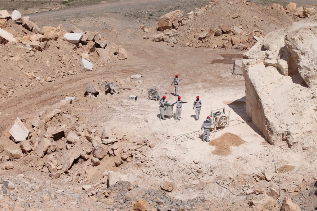
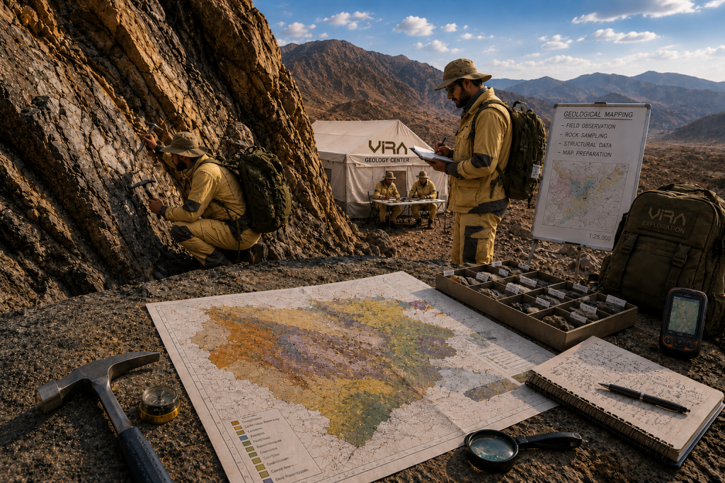
Field Geology Center and Geological Mapping Preparation
(Conducting field geological studies, geological mapping, geophysics, geochemistry, GIS).
Geological studies, preparation of geological maps, geophysics, geochemistry, and Geographic Information System (GIS) are considered among the main and complementary foundations in the process of exploration and evaluation of mineral resources, each playing an important and specialized role in accurately understanding geological structures, determining the location, and assessing the quality of mineral resources.
In this regard, the specialists of Tolu-e Tammadon Vira provide the following services to help accelerate the achievement of your goals:
• Geological Studies
• Includes field and laboratory investigations aimed at identifying the type, distribution, and characteristics of rocks and minerals. These studies provide the basis for understanding the earth’s structure, the geological history of the region, and the conditions of mineral deposit formation, and help identify promising exploration areas.
• Preparation of Geological Maps
Unlike many consulting companies that mainly rely on office-based and software analyses, Vira Holding is based on the principle that every geological model must begin with direct observation of outcrops, field surveys, preparation of geological maps, and a real understanding of the geological environment, and that every mining decision must be made based on reliable field data. Field geology, geological mapping, and a real understanding of mineralization systems (through geological mapping, field studies, structural measurements, preparation of geological sections, petrographic studies, tectonic interpretation, and quality control of field data) will be the main focus of the services provided by the highly specialized team of Vira Holding to applicants.
• Geophysical Studies
Designing geophysical operations, processing, and interpreting data using non-destructive physical methods. These studies measure and analyze the physical properties of the earth, such as magnetism, gravity, electrical resistivity, and seismic waves. These methods enable the identification and determination of the location of mineral deposits buried beneath the earth’s surface, especially in areas where direct access to rocks is limited. Common methods include magnetometry, gravimetry, electrical resistivity, seismic surveys, and electromagnetic methods, each of which has a specific application depending on the type of mineral and geological conditions. These studies play a key role in reducing exploration costs and time and, by increasing the accuracy of drilling location determination, reduce investment risks.
• Geochemical Studies
Designing and implementing sampling programs and interpreting geochemical data involves examining the chemical compositions of soil, rock, and water samples to identify chemical variations related to mineral processes and the presence of target elements. These studies help discover hidden deposits and determine areas with mineral potential and serve as a complement to geological and geophysical data.
Overall, integrating these specialized studies with the use of modern technologies such as GIS and international standards enables more accurate identification of mineral resources, cost reduction, and increased efficiency of mining projects, while creating the foundation for attracting domestic and foreign investments.